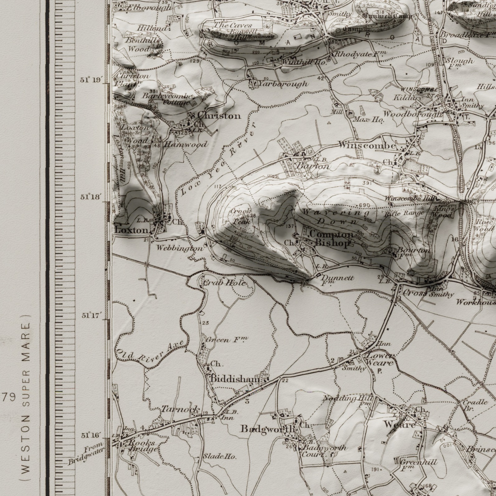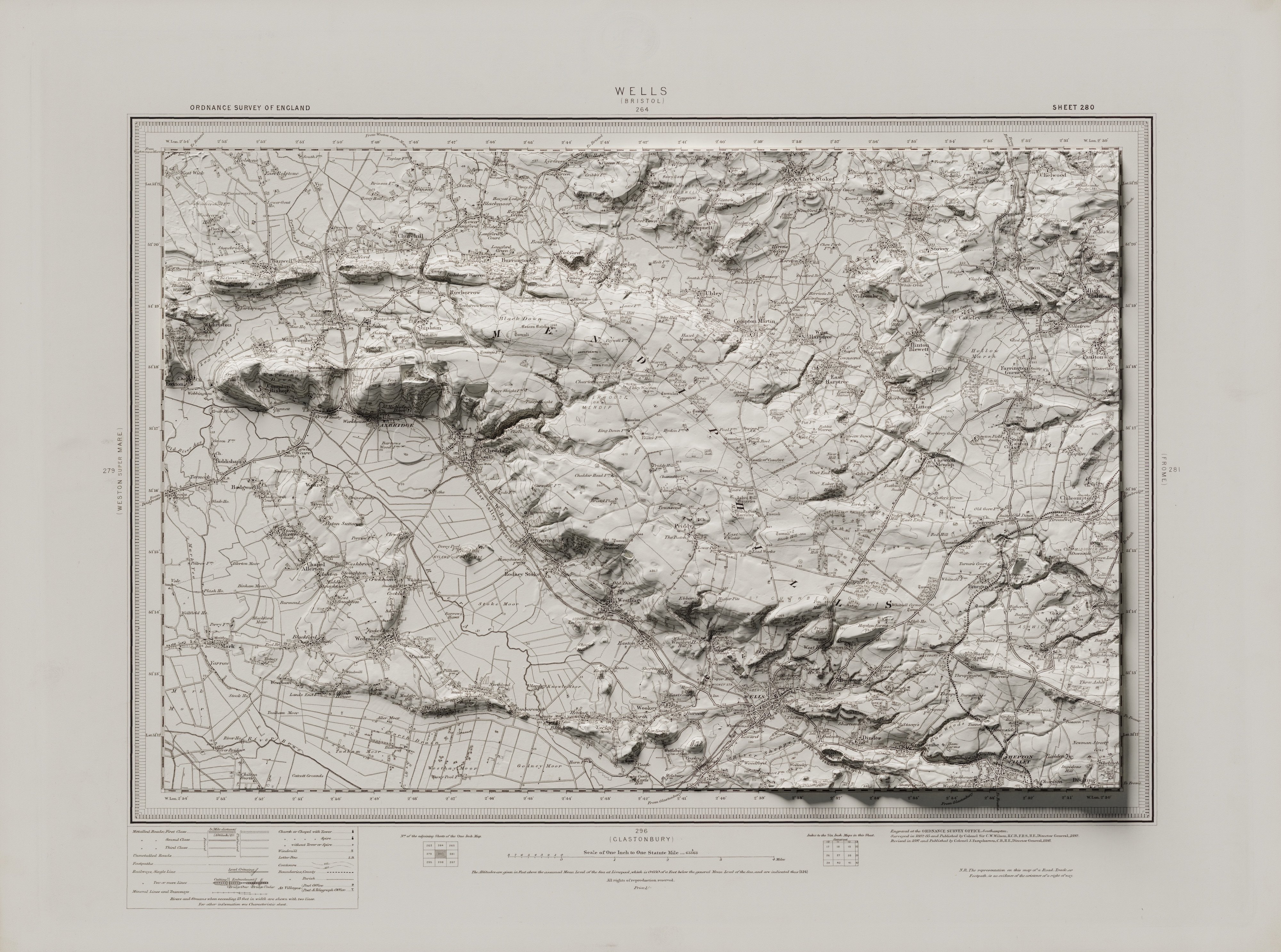
Mendips Ordnance Survey Relief
1898 Ordnance Survey map of Wells and the Mendips in Somerset, England with elevation from lidar. Height is exaggerated 1.6 times for effect.
Map georeferenced in QGIS with lidar ray-trace rendering done with Blender
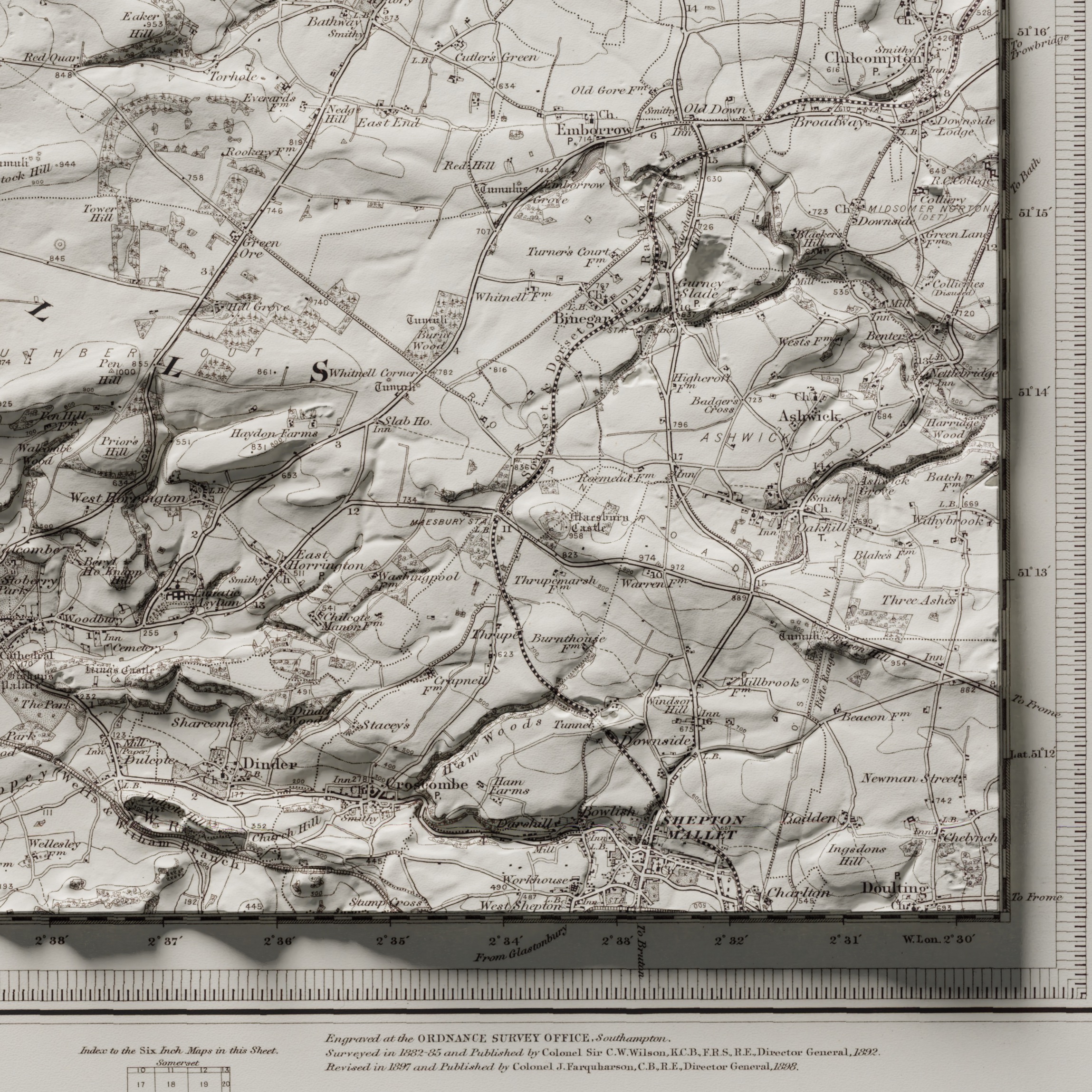
1898 Ordnance Survey map of Wells and the Mendips in Somerset, England with elevation from lidar. Height is exaggerated 1.6 times for effect.
Map georeferenced in QGIS with lidar ray-trace rendering done with Blender