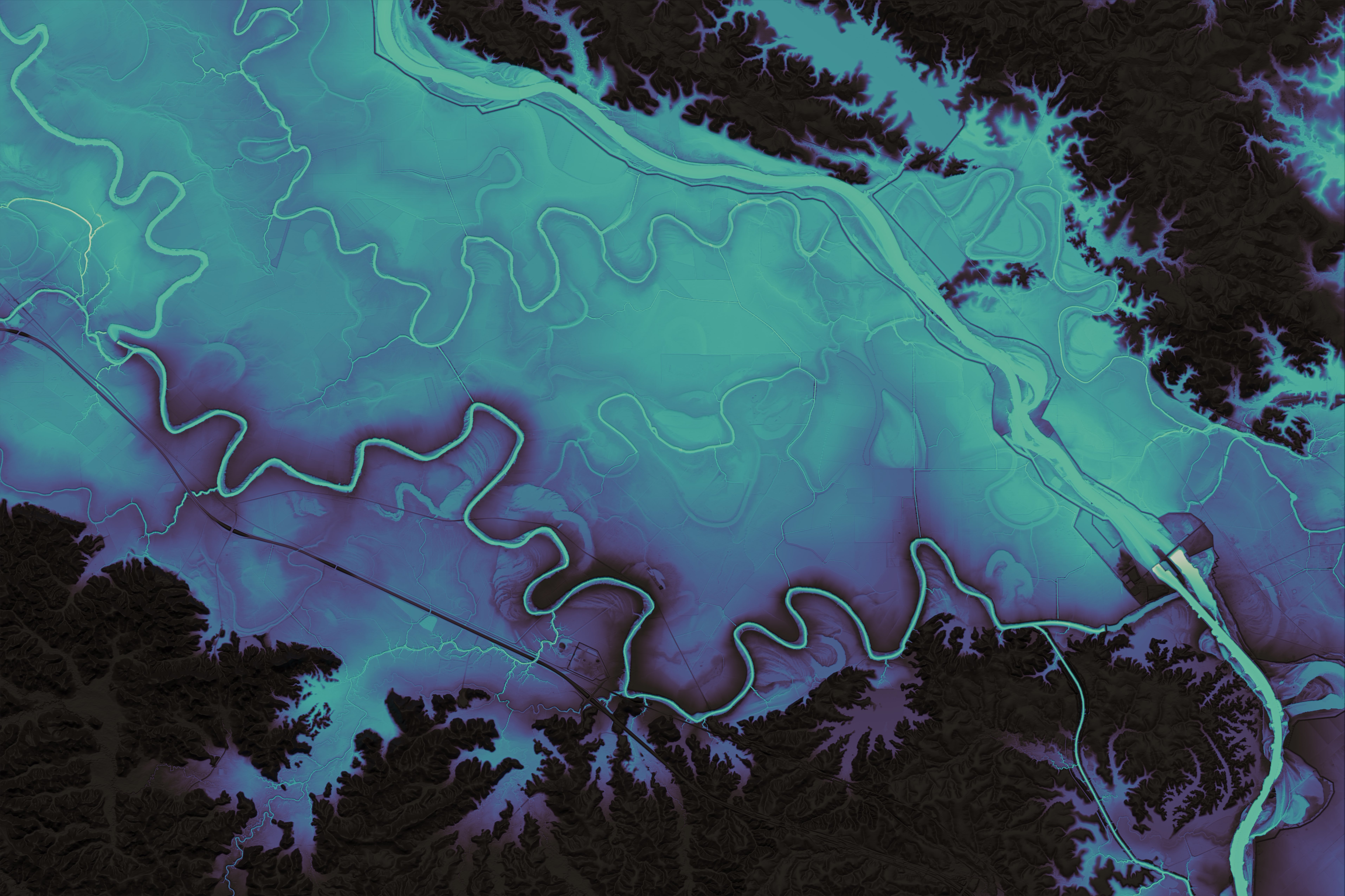
Relative Elevation Models
QGIS and Photoshop
Self initiated
QGIS and Photoshop
Self initiated
Rendered DEMs of rivers and their floodplains across the globe. The Murray, Rakaia, and Apalachicola rivers are shown. Relative Elavation Models (REMs) show height relative to a river as the watercourse itself changes height relative to sea level. They allow a clearer picture of the floodplains surrounding the river.